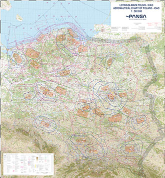
AERONAUTICAL CHART OF POLAND - ICAO 1:500 000 (wallpaper, photo paper)
Aeronautical ICAO Chart of Poland in the scale of 1:500 000, commonly known as VFR Chart, will be available. The aeronautical content includes all airspace structures - from GND to FL 95.
The chart shows:
– Aerodrome Traffic Zones (ATZ),
– Air defence identification zone (ADIZ),
– Areas of sporting and recreational activities have been introduced using pictograms to indicate the type of activity,
– Constant Military Air Routes (MRTs),
– Control Area (CTA),
– Control Zones (CTR/MCTR),
– Flight Information Service (FIS),
– Flight plan mandatory area (FPL),
– MEF (Maximum Elevation Figure),
– Navigation points for VFR flights,
– Prohibited Area (P), Restricted Area (R), Danger Area (D),
– Radio communication mandatory zone (RMZ),
– Reporting points on the FIR boundary,
– Temporary Segregated Areas (TS),
– Temporay Reserved Area (TR),
– Terminal Control Areas (TMA/MTMA),
– Transponder mandatory zone (TMZ),
– TS / TR feeding route (TF).
All heights/altitudes are given in feet.
Photo paper version.